Galaxy
Drone detection middleware that fuse several different sensors data to create actionable information in a map UI.


Galaxy
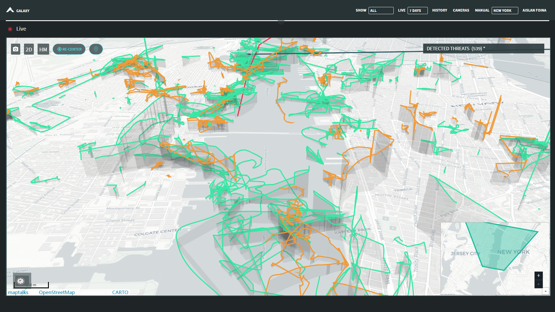
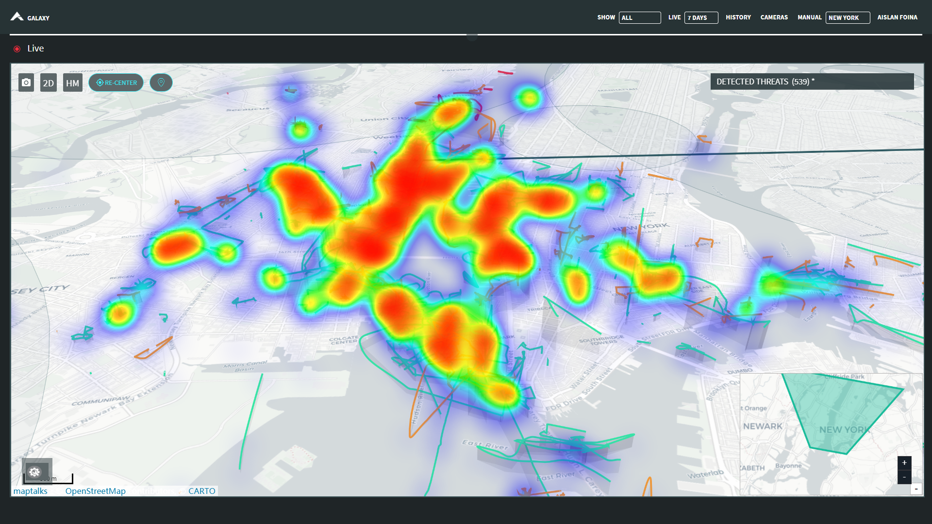
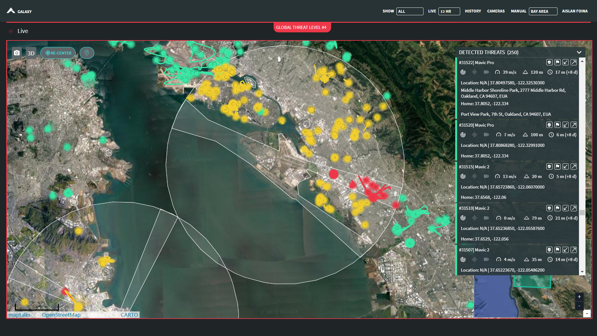
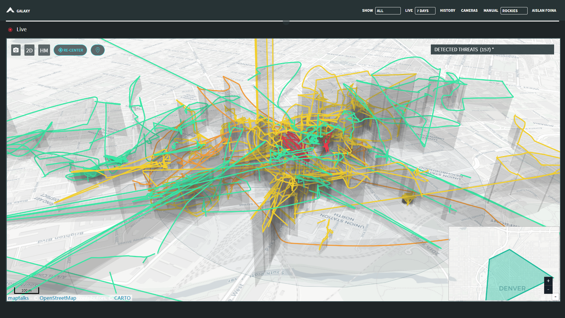
Galaxy is a system designed to consume raw sensor data from radar, rf direction finders, cameras and other sensors to create a high level information about where drones are flying. The lower layers of the system filters the false positive merging data from the different sensors and validating with camera AI algorithms. The precision of the drone detection data improves when more different sensors detect it. I.e., when radar detects it, the shows as a small/medium/large drone on the dashboard. When it gets into range of the rf detector sensors and the rf protocol is analyzed, extra metadata about the drone is added to the detection. The front-end was designed to be flexible enough to support all the heterogeneity of the sensors network and its possible fusions. An JSON api is also part of the system to allow vendors to integrate its sensors into Galaxy, and also to allow 3rd party dashboards to fetch Galaxy data.
Specs
- ai
- app
- cloud
- map
- php
- system integration
- web